Machine Learning for Land Cover Analysis and Environmental Monitoring
Description
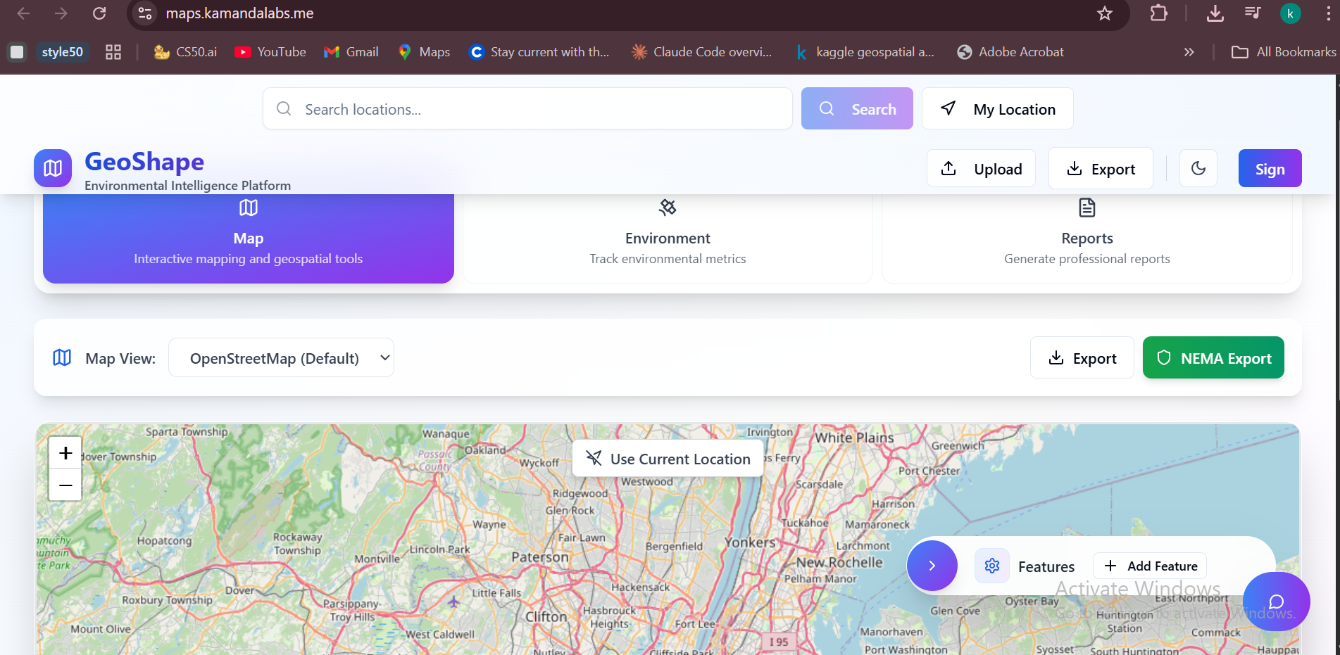
AI-driven geospatial analysis platform using Google Earth Engine(GEE) and custom ML models to automate wetland delineation, land cover change detection, and environmental impact assessment. Reduces analysis time from weeks to days while maintaining 90%+ accuracy using satellite data and ai
Impact
The platform enhances accountability and transparency in environmental decision-making. By automating land cover and wetland change detection, it helps regulators, consultants, and communities identify potential environmental risks early. This reduces project delays, ensures fair treatment of Project Affected Persons (PAPs), and supports compliance with environmental laws. Economically, it cuts assessment costs and time for developers and consultants while improving data quality for international organizations. The result is a more efficient, transparent, and equitable development process.
Target Audience
Environmental organizations and project affected communities
Industrial Value Chains
Partnerships
Individual (self-led or personal innovation)
Video
Watch VideoInnovation Details
May 15, 2025
Contact Information
Kamanda Collins Kamuza
Related Innovations
Itiner Digital Platform: Intelligent No-...
James Nnusu • 7 months agoCommonlands
Allan Ananura • 7 months ago
Waste to wealth(W2W)
Musiimenta Kaadiri • 7 months ago